Miami Center and Wachovia Financial Center. Biscayne Plaza to the right: location of the future "One Bayfront Plaza".
 Four Seasons Tower - Tallest building in Miami at 70 floors
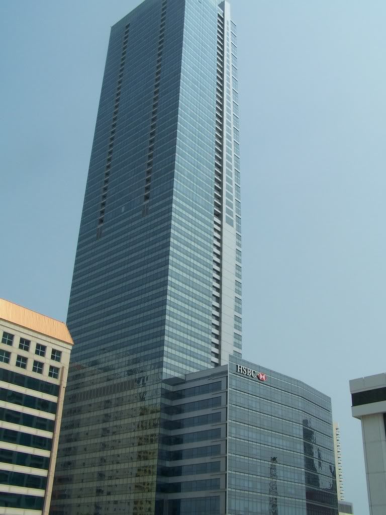 Espirito Santo Plaza
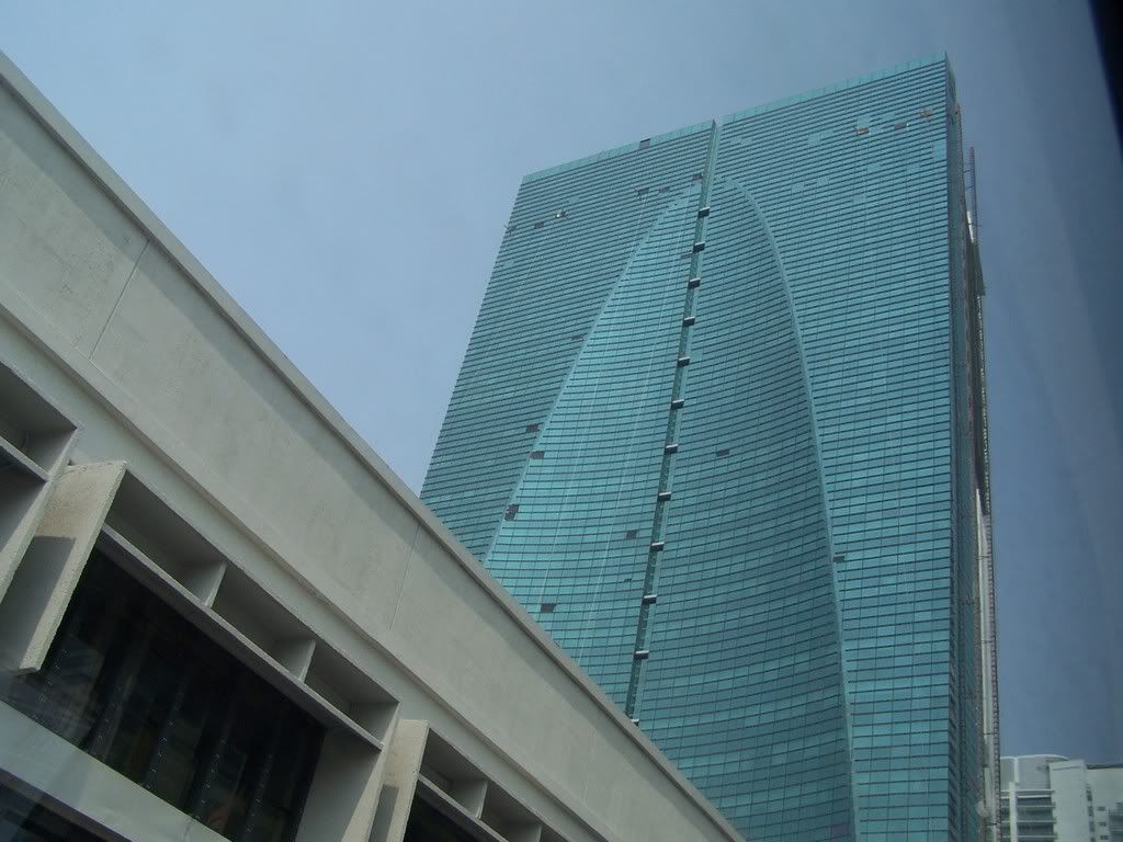 Infinity I at Brickell
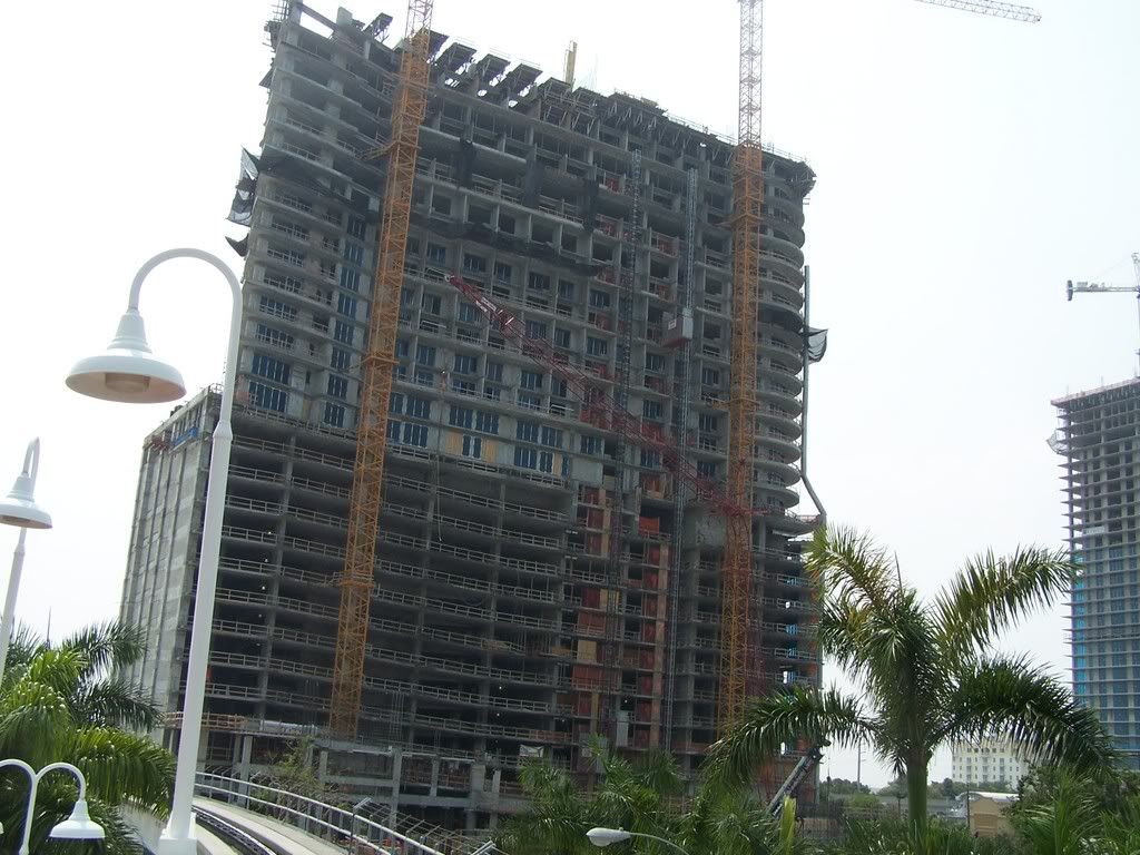 Four Seasons Tower
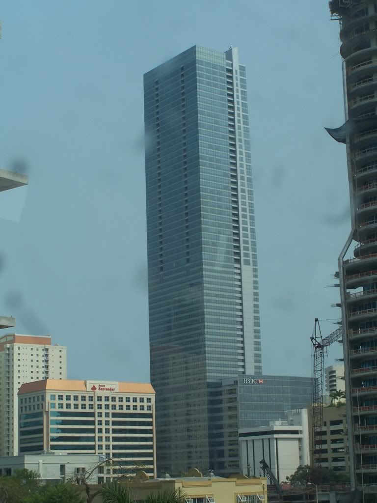 500 Brickell Complex
 Riverfront Complex: Wind and Ivy
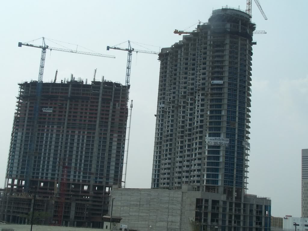 Plaza at Brickell under construction with 777 Brickell in the foreground
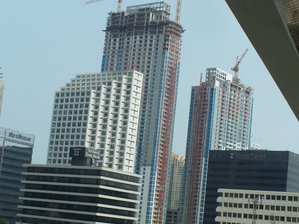 Epic - 500 feet/48 stories
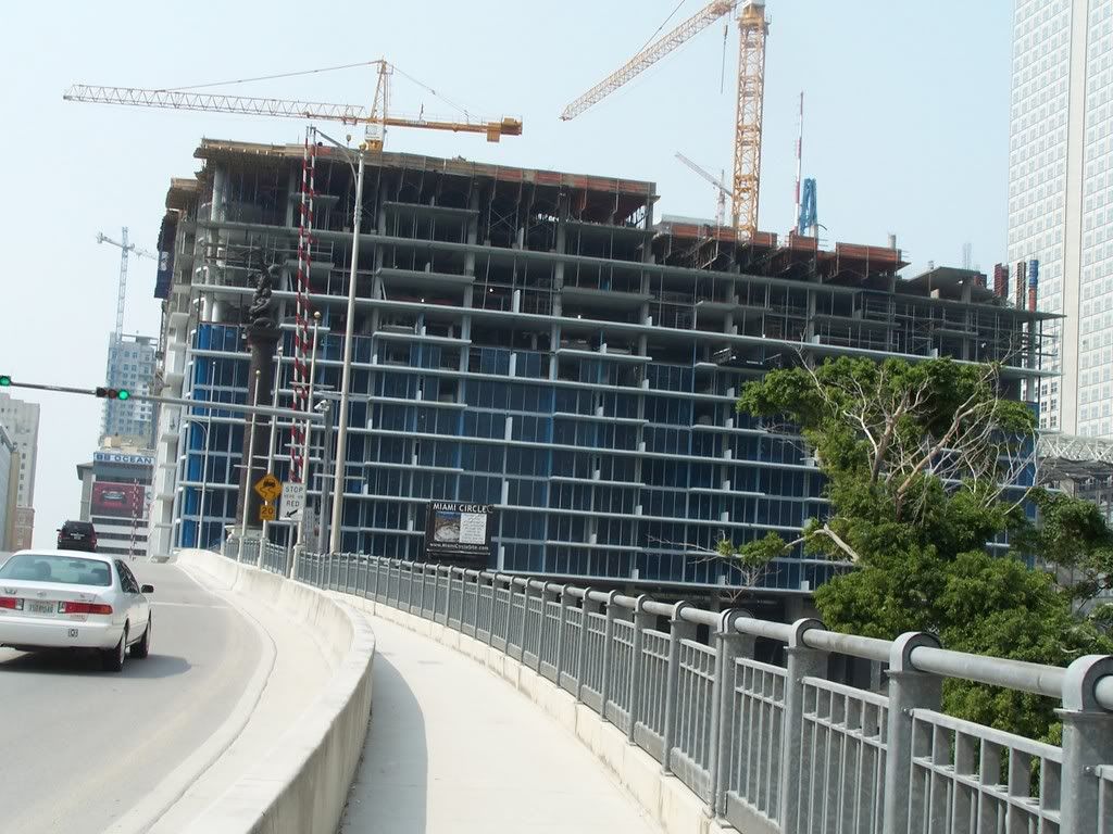 Icon Brickell
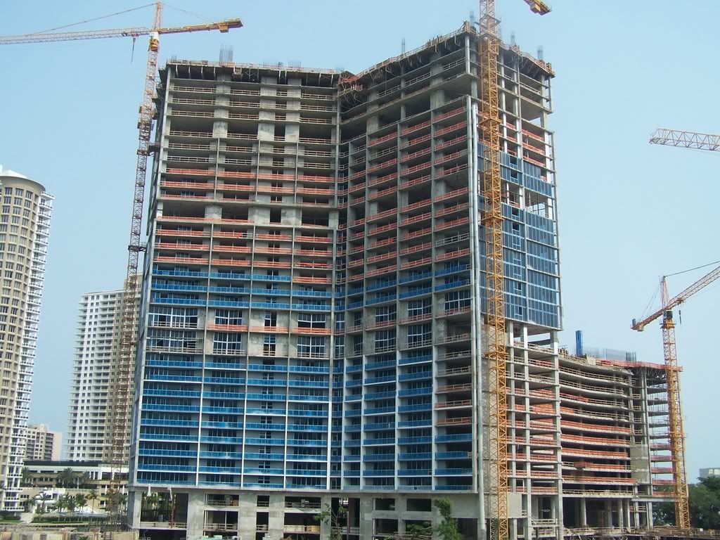 Brickell on the River
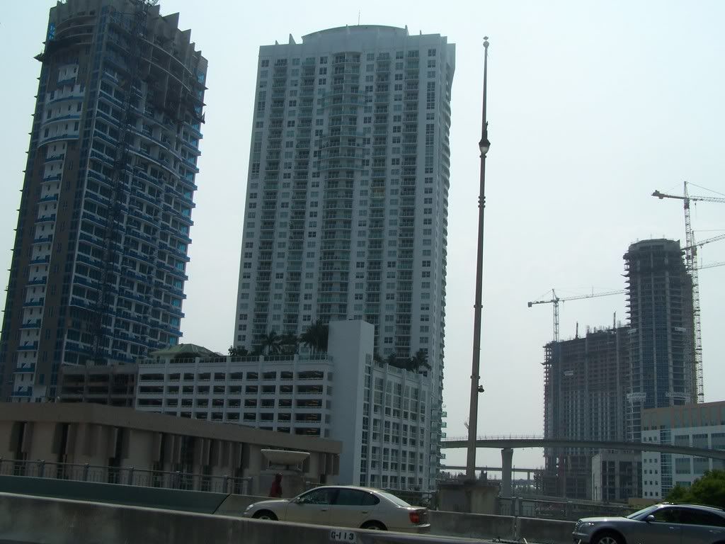 Met 2 construction site with groundwork being done
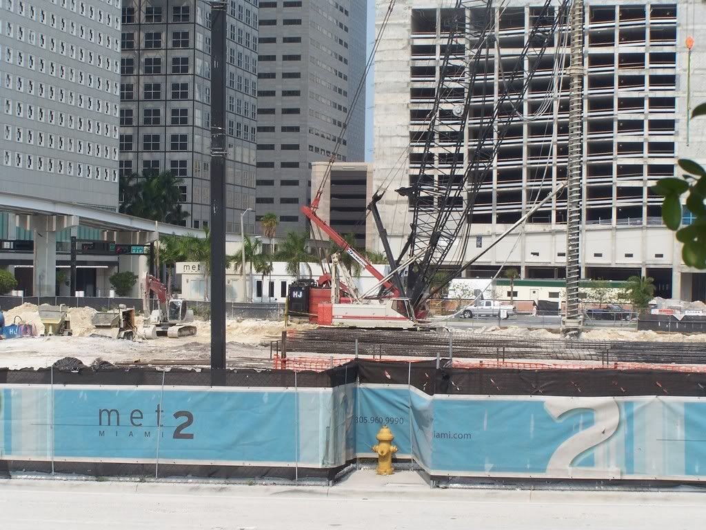 Met 2 construction site, Met 1, Wachovia Financial Center
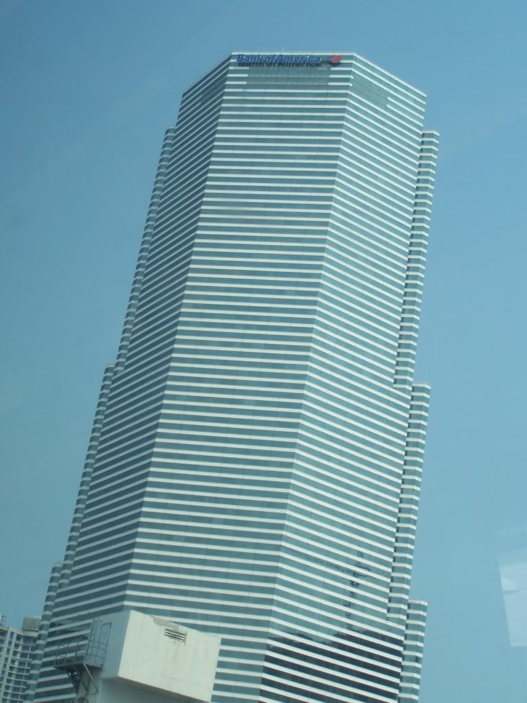
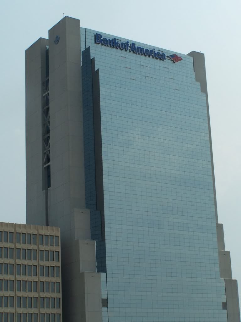
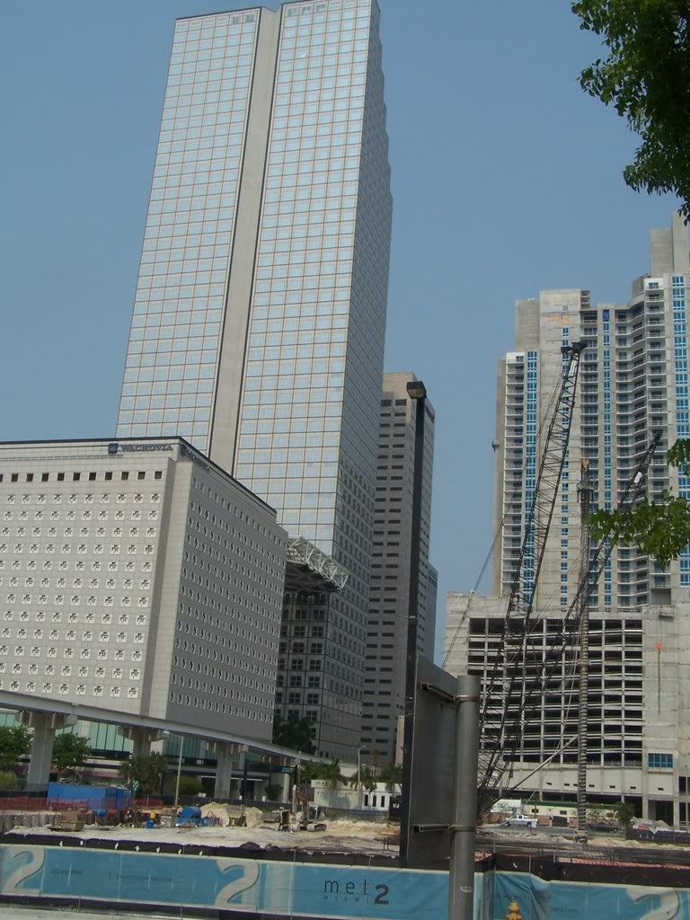 Bank of America Tower
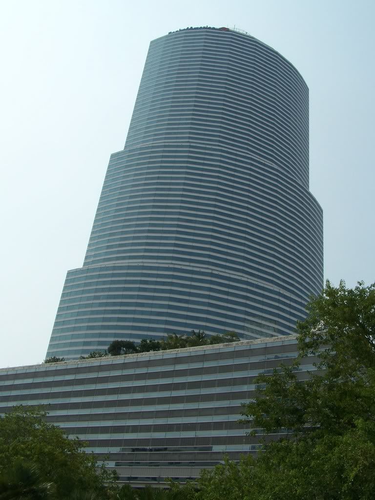 Riverfront/NeoVertika
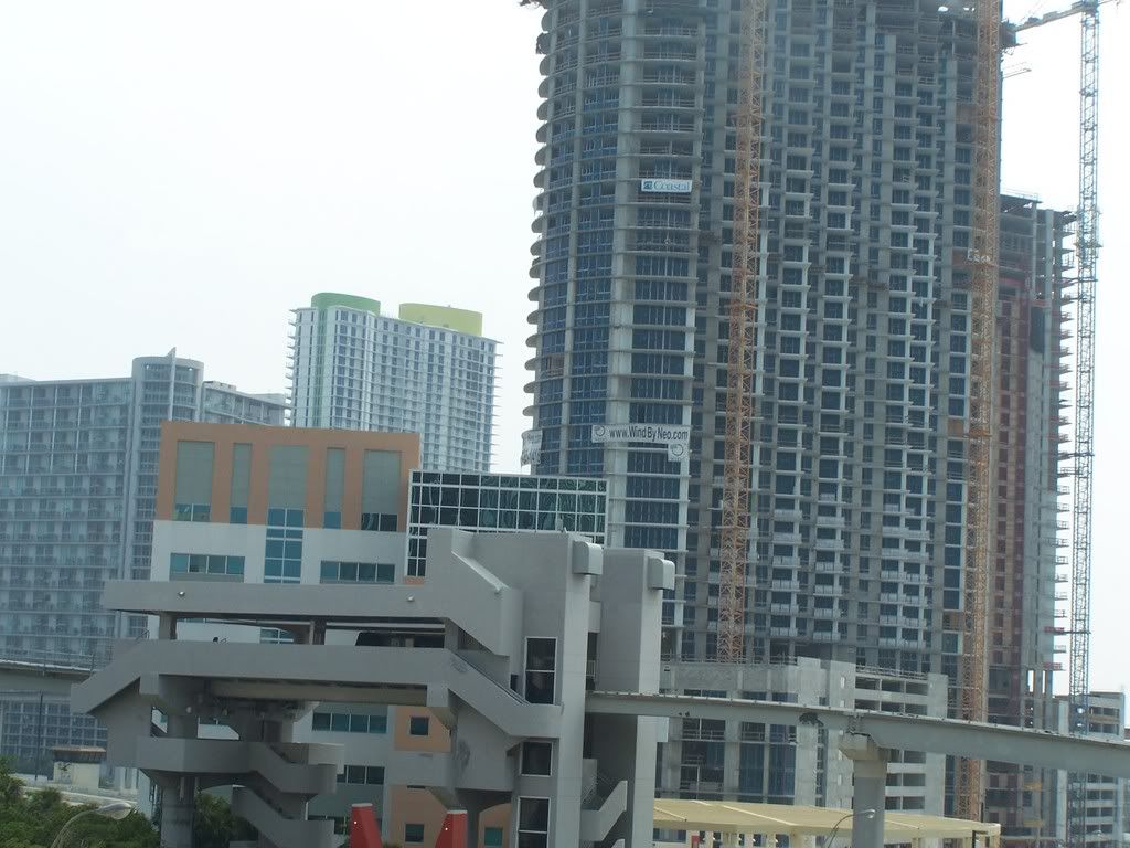 DuPont Tower
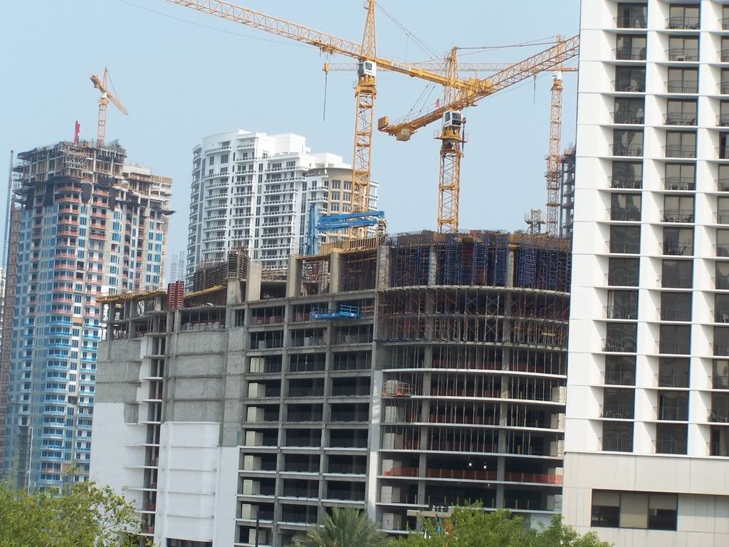 Met 1
Met 1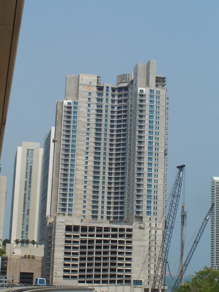 Bank of America Tower
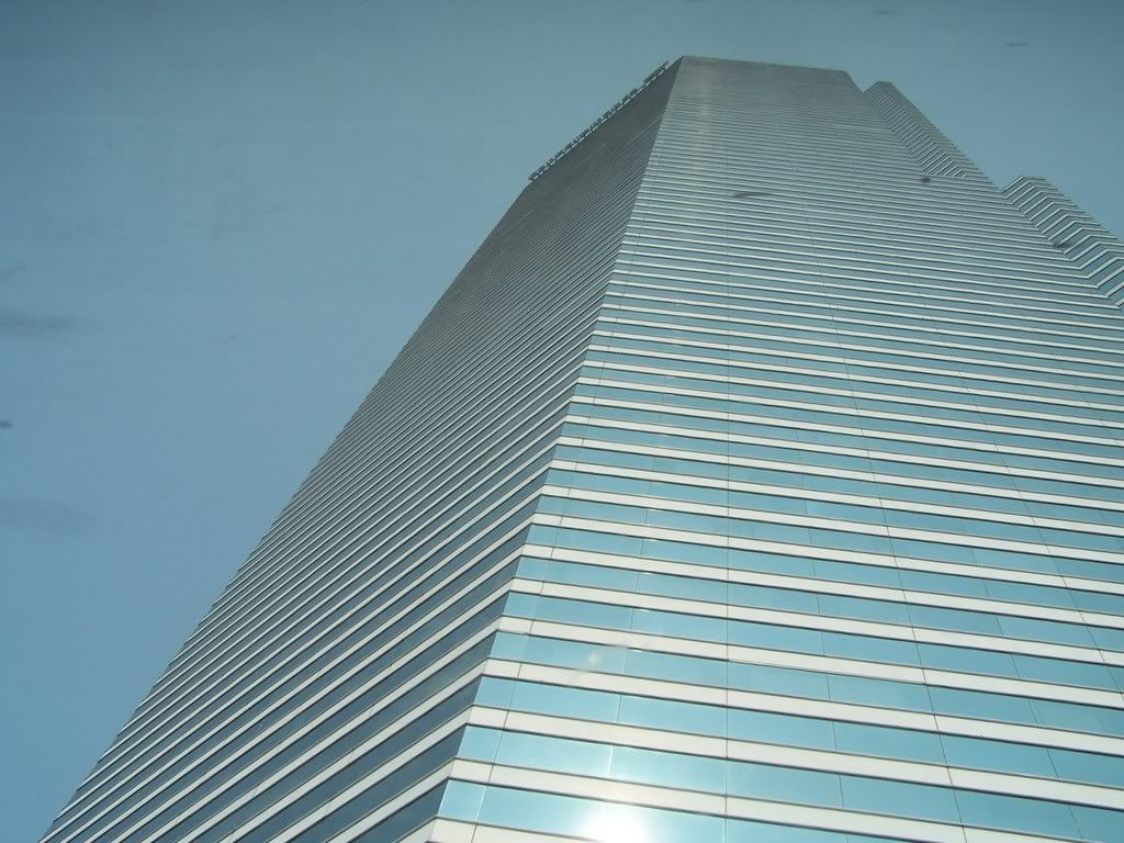
 Western Brickell as seen from Government Center
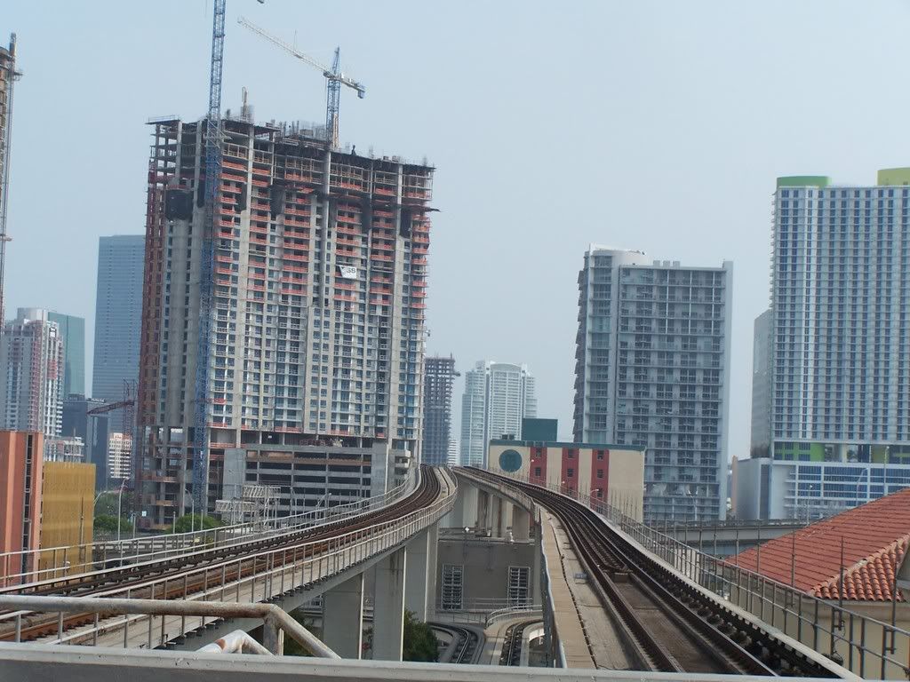 Top of the Wachovia Financial Center
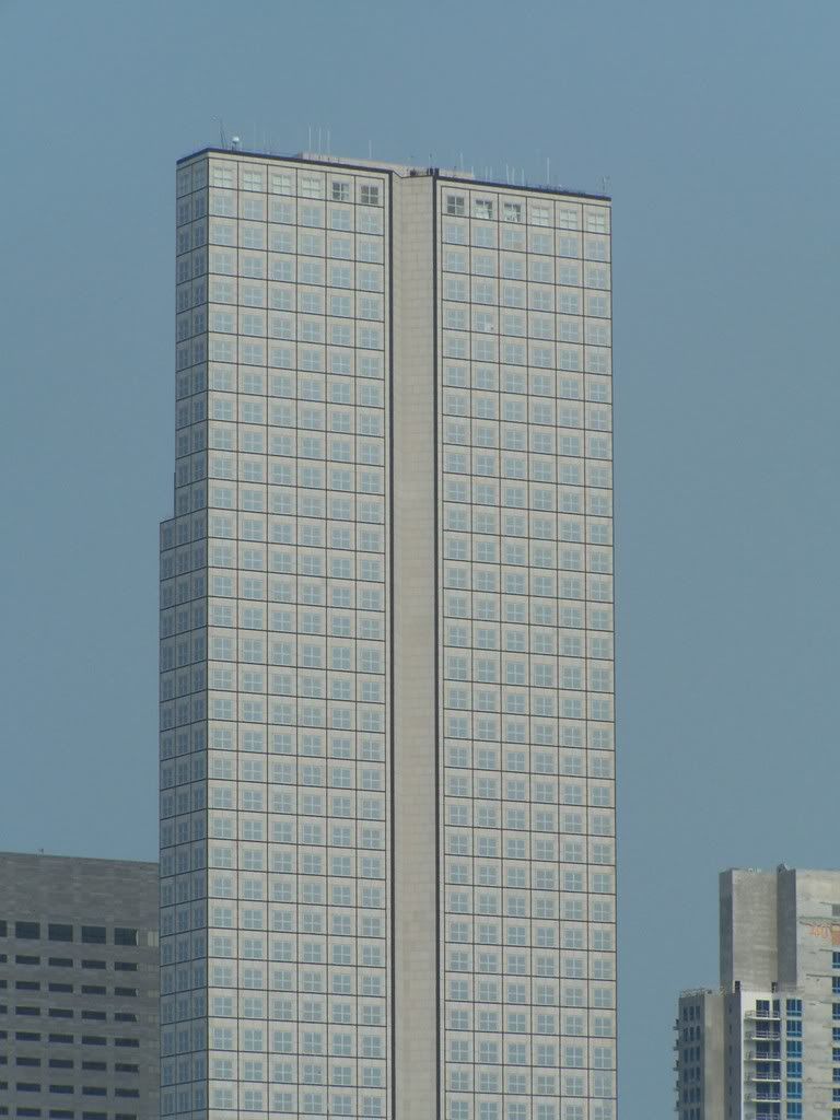
Museum Tower
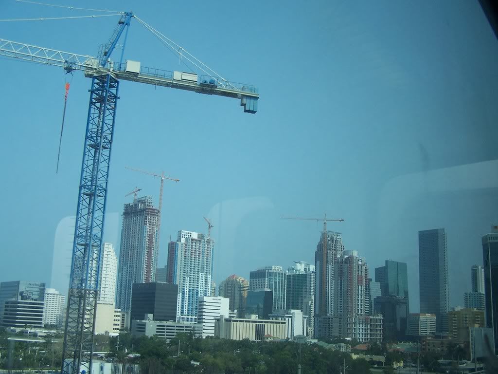
Brickell Skyline from the metrorail
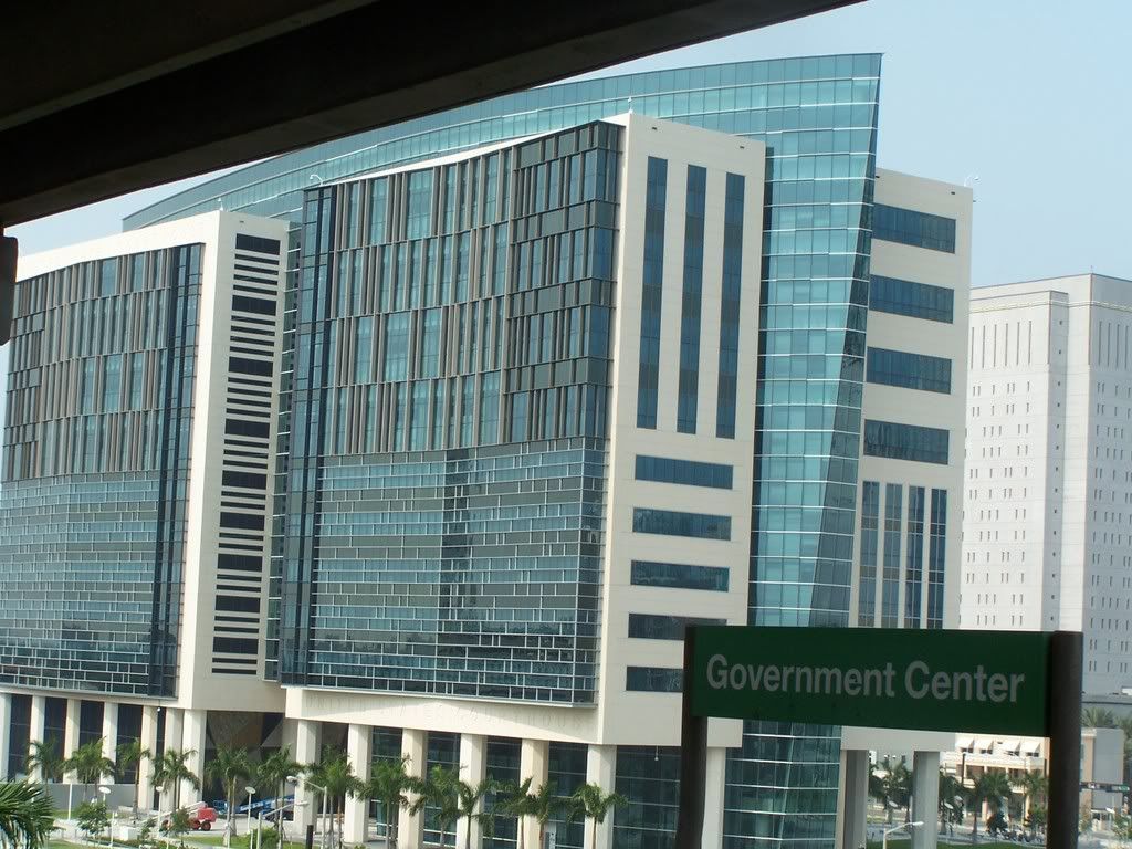
Riverfront Area from Government Center
 United States Courthouse